عضویت
عضویت  ورود اعضا
 راهنمای خرید


IBAK 3D-GeoSense0 pages

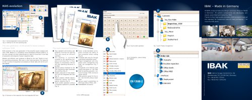
IKAS evolution
Configuration
3D-GeoSense
IKAS-Evolution
3D-GeoSense,
Pipe run data
ORION L 3D with PHOBOS 3D
Hydrostatic
Level
Measurement
Configuration example for 3D GeoSense without flushing, compact system
with BK3.5, POLARIS 3D, HSP with Perfect Push Rod (Similar to figure)
To enable the data collected with the camera to be further processed
properly, the hardware is supported by special software tools.
3D-GeoSense Flushing:
3D-GeoSense without Flushing3):
With IKAS evolution, data measured by the 3D sensor (xyz coordinates)
can be collected fully automatically. This is done together with the TV inspection in a single operation.
Big System:
ORION L 3D1)
ORION 3D1)
POLARIS 3D1)
LISY 3 (=> from version 3.2 on2), mid 2015)
with control camera LISYCam 3, LISYCam 200
3D cone
PHOBOS 3D flushing nozzle2)
BS7 or BS5
KW 305 / KW 505 with camera cable
LISY Synchron 2 cable reel (with a camera cable instead of a push rod)
XTRA counter
PHOBOS 3D camera cable2): 180m
IKAS Evolution
Optional:
Measuring module system for hydrostatic level measurement
Big System:
ORION L 3D1)
ORION 3D1)
POLARIS 3D1)
LISY 3 (=> from version 3.2 on2), mid 2015)
with control camera LISYCam 3, LISYCam 200
3D cone
DEIMOS 3D2)
BS7 or BS5
KW 305 / KW 505 with camera cable
LISY Synchron cable reel with camera cable plus the Perfect Push
Rod as a push rod
IKAS Evolution
IKAS evolution also permits the real-time display of the surveyed pipe
run as a network graphic* during the TV inspection. Map material (e.g.
the layout of a building) can be read into the software and adapted to the
correct size so that the resulting lateral run appears directly in the plan.
The pipe run is saved unambiguously in terms of geography with threedimensional coordinates (geo-referenced), so that you can always see at
which position on the Earth the pipe run is located.
The resulting layout plan can be exported easily to all supported sewer
data formats**. It can be adapted to precise position coordinates,
generally known as geo-fix points, with the assistant functions of the
software*.
IKAS evolution also supports the collection of the level measurement
data which are determined semi-automatically by the level measurement
system. The collection of this data is also performed in a single operation together with the TV inspection just like the pipe run survey with
3D-GeoSense. The level fixed points are analysed and adapted with the
assistant function* in IKAS evolution.
*t The IKAS evolution MAP Route Assistant is required!
**t epending on which IKAS evolution sewer interface is used
D
t For further information on IKAS evolution, please refer to the IKAS evolution leaflet.
Compact System:
ORION L 3D1)
ORION 3D1)
POLARIS 3D1)
DEIMOS 3D2)
BK 3.5.2
HSP60 with 80m of Perfect Push Rod
IKAS Evolution
1)t cameras must be specially precalibrated once only by IBAK for pipe run surveying! Without
The
calibration, ORION 2.8L, ORION 2.9 and POLARIS can be used as conventional cameras only
2)t Ex approval in preparation
3)t No hydrostatic level measurement possible
Configuration example for 3D GeoSense with flushing:
Big system with BS5 or BS7, KW 505, LISY Synchron cable reel, LISY 3
with ORION L 3D